


Hiking
Signposting of trails
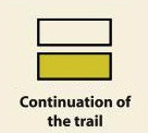
These are some of the signs you will find when you take the routes we describe below.
(PR) SSMALL TOUR TRAIL:


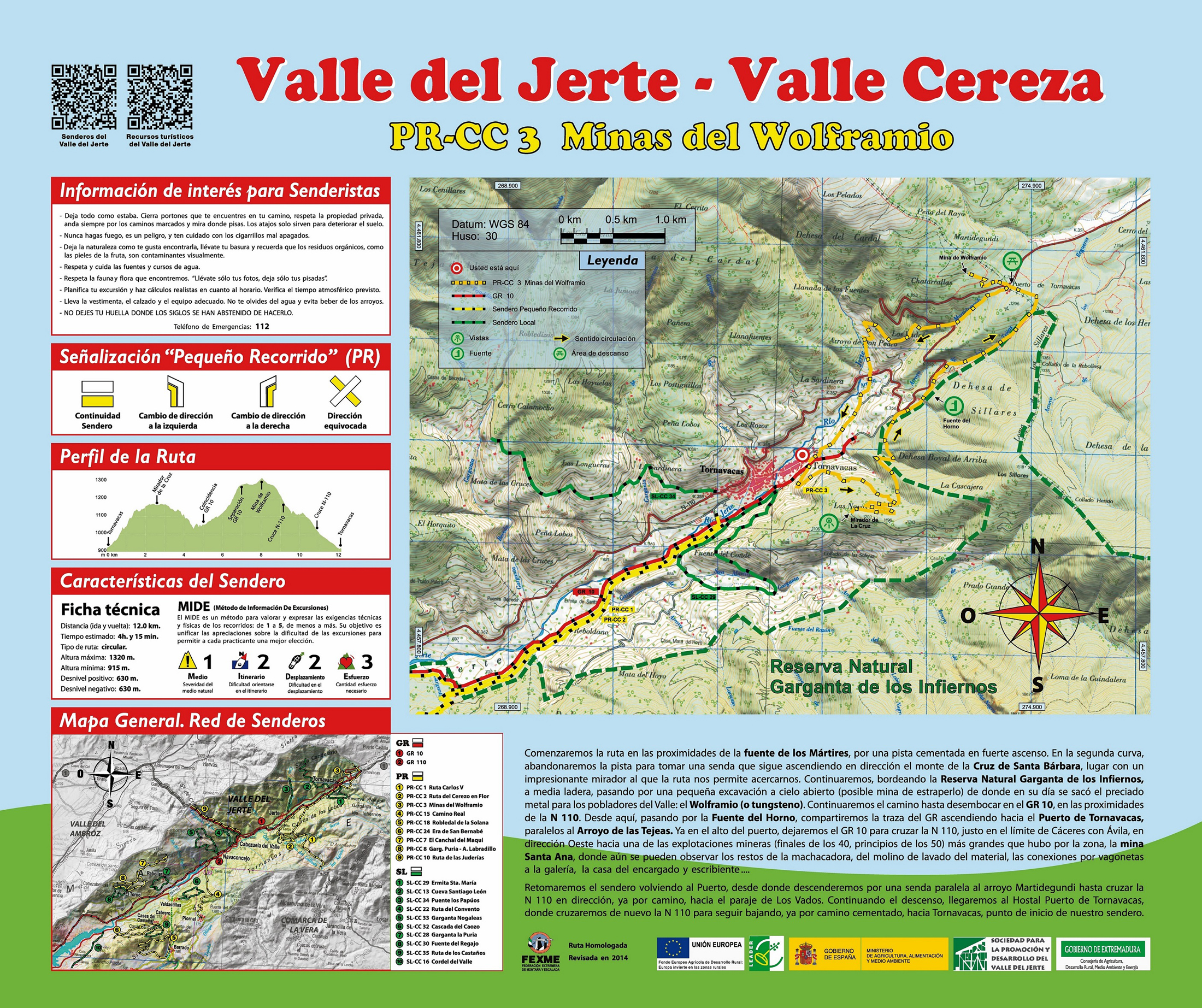
Route PR-CC 03 - Wolframium Mines
The extraction of tungsten, known in the zone as wol- framium, marked an era and a way of surviving in the town of Tornavacas, its greatest exploitation being during the Second World War. There are several mines of this kind throughout the district, though what can currently be seen are the remains of the excavations.
From the high zone of the town, next to Fuente de los Mártires, we first ascend along a track and then along a narrow trail to get to a deviation that allows us to ascend to the Monte de La Cruz viewpoint (1.5 miles there and back). From the aforementioned point, the trail crosses a small creek and passes near an old prospection, until arriving at the GR 10 to ascend to Tornavacas Port. There, the route crosses the motorway and leads us to an old mine called Santa Ana, where the remains of the windmill and crusher, and the dwellings of the managers and clerical staff can be seen. Returning to the port, we descend along a trail parallel to Martidegundi creek that, after crossing the N 110, continues along a concrete road that comfortably leads us to the start and end point of the trail.


Profiles

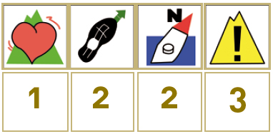
Technical sheet
Route: Circular
Start: Tornavacas (Fuente de los Mártires)
Finish: Tornavacas (Fuente de los Mártires)
Length: 7.5 miles
Estimated time: 4h 15min
Difficulty: Medium
Height difference : 2,067 ft
Height difference : 2,067 ft
HIM