


Hiking
Signposting of trails
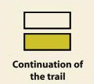
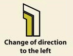
These are some of the signs you will find when you take the routes we describe below.
(PR) SSMALL TOUR TRAIL:


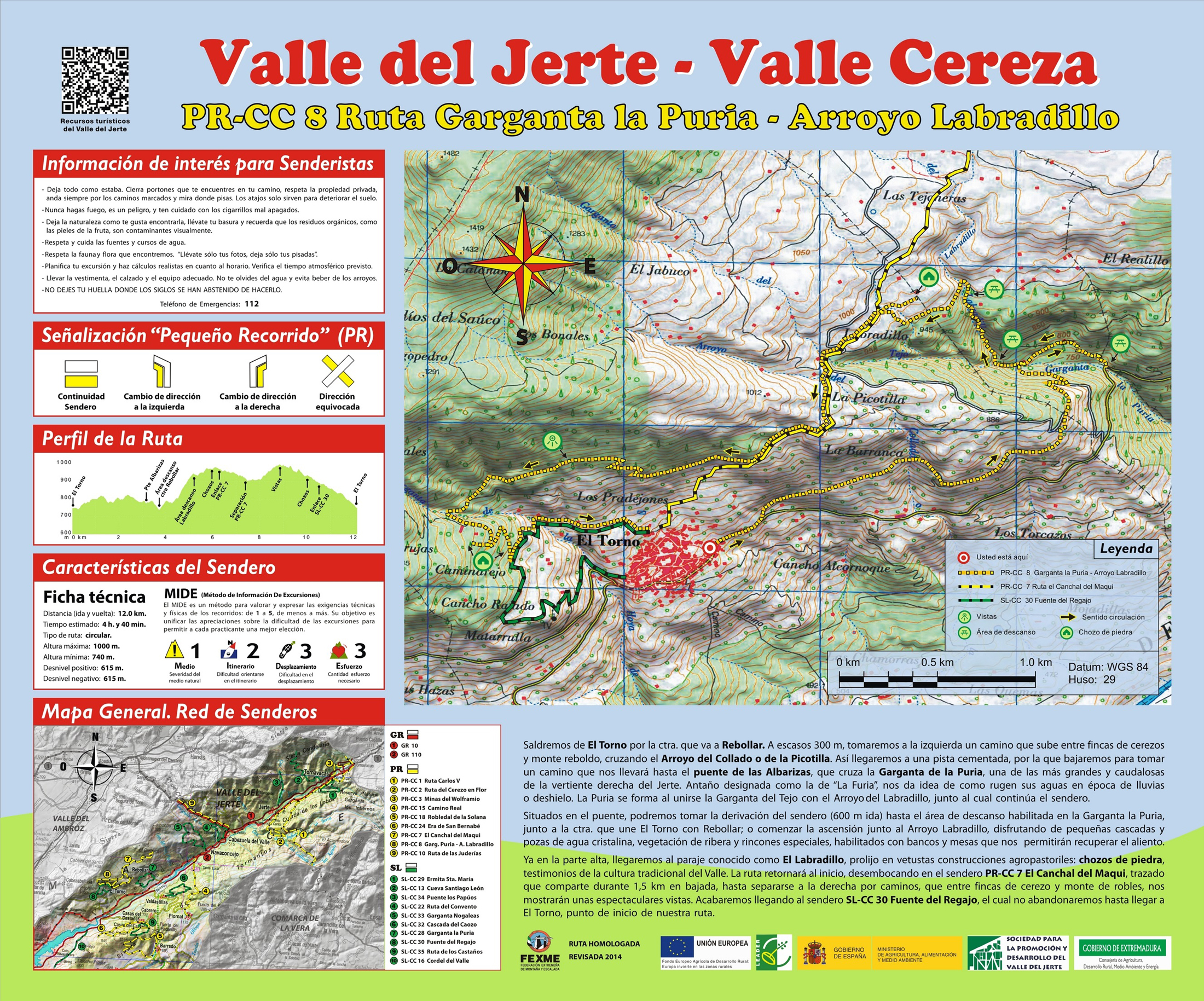
Route PR-CC 08 - La Puria Ravine-A. Labradillo
At El Torno, the stones tell us a simple yet valuable story dating back centuries. Extremadura’s vernacular archi- tecture has a singular manifestation, which is a rural construction that we find particularly represented in these spots (over 200): the hut. Vernacular constructions with dry stone arches, “organic and live articulation of tra- ditions materialized into things” (Eugenia Trías, 1998).
We leave along the local El Torno road in the direction of Rebollar to take the uphill road on the left that takes us half way up the slope as far as a concrete track, along which we descend as far as a road on the left that leads us to a bridge that crosses La Puria ravine. This where the deviation from the trail starts that leads us to a rest area next to the ravine starts. On the return to the aforementioned point, we start ascending along a zigzagging trail parallel to the ravine, which enables us to enjoy spectacular waterfalls and sports that awaken the valley’s soul in us. The road descends from the aforementioned spot to join the PR Canchal del Maqui and, after deviating to show us some spectacular views of the valley, will lead us to El Torno.


Profiles

Technical sheet
Route: Circular
Start: El Torno (Avenida Manuel Martín)
Finish: El Torno (Avenida Manuel Martín)
Length: 7.5 miles
Estimated time: 4h 40 min
Difficulty: Medium
Height difference : 2,018 ft
Height difference : 2,018 ft
HIM