


Hiking
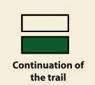
Signposting of trails
These are some of the signs you will find when you take the routes we describe below.
(SL) LOCAL PATH:


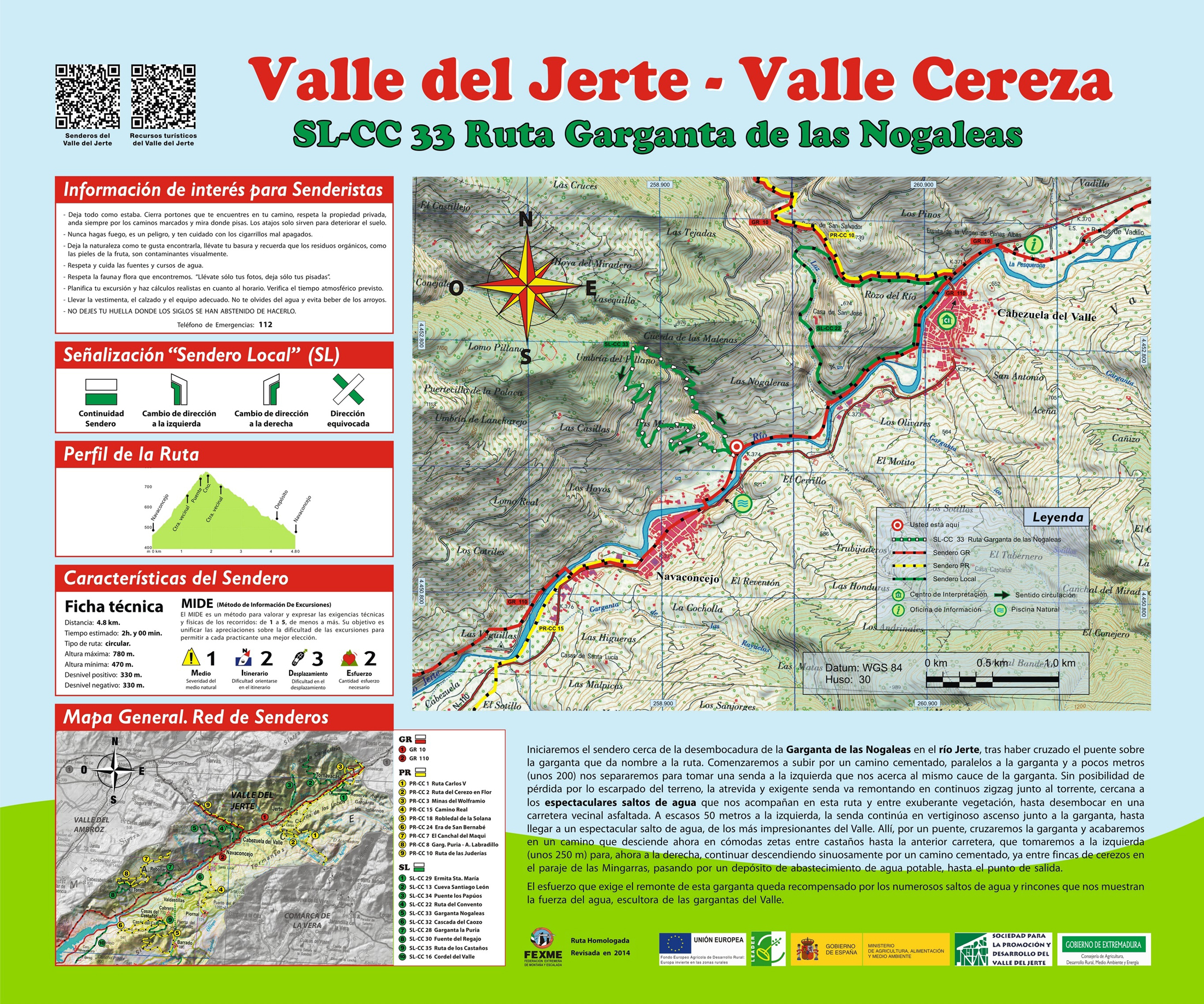
Route SL-CC 33 Nogaleas Ravine
As the water burbles along, its constant presence in the district becomes a characteristic feature of its natural environment. The murmur of the water is noticed in any corner of Jerte, at times forming spectacular waterfalls or short streams. The numerous water courses enliven the valley’s fields and guarantee the survival of the abundant natural life of its banks.
We start the trail at the mouth of Las Nogaleas in the river Jerte in Navadoncejo. We start ascending along a concrete road parallel to the ravine and a few feet further on separate along a trail to the left that takes us near the actual course of the river. The steepness of the land means it is impossible to get lost and the bold and demanding trail climbs in a continuous zigzag next to the torrent, crossing a neighbouring motorway on its ascent. In the high part, there is a waterfall that is one of the most spectacular in the valley. From there and after another brief ascent, we take the downhill road that comfortably leads us to the starting point. The effort required by this trail is compensated by the numerous waterfalls and beautiful spots it hides.


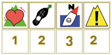
Profiles

Technical sheet
Route: Circular
Start: Navaconcejo
Finish: Navaconcejo
Length: 3 miles
Estimated time: 2h
Difficulty: Medium
Height difference : 1,083 ft
Height difference : 1,083 ft
HIM