Hiking
Signposting of trails
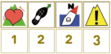
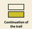
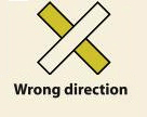
These are some of the signs you will find when you take the routes we describe below.
(PR) SSMALL TOUR TRAIL:


Route PR-CC 10 - Las Juderías
The Las Juderías or Los Carboneros route, which makes reference to the muleteer road for charcoal, is a display of the union of three cultures—Ara- bic, Jewish and Christian—that openly coexisted in the zone 500 years ago, leaving us with a heritage that includes the Jewish quarters of Hervás and Cabezuela del Valle.
Its first section coincides with the SL-CC 22 (Convent Route) and the entire section with part of the GR10. We start in Cabezuela del Valle, next to the bridge, ascending along a road until we get a view of Valle de Honduras. We continue a little along the IRYDA track, which we leave to keep ascending alongside Honduras ravine, along a road with a steep slope. On a hairpin bend, we take a narrow trail on the left that, after Gargantahonda bridge, starts going uphill in the shade of large oak trees and sycamores as far as Honduras Port. Towards the Ambroz slope, it descends an old muleteer path that must be followed until the end. We arrive in Gargantilla by crossing a bridge over Buitreras ravine at the town’s entrance.


Profiles

Technical sheet
Route: Linear
Start: Cabezuela del Valle
Finish: Gargantilla
Length: 8,82 miles
Estimated time: 5h 45 min
Difficulty: Medium
Height difference : 0,61 ft
Height difference : 0,52 ft
HIM