


Hiking
Signposting of trails
These are some of the signs you will find when you take the routes we describe below.
(PR) SSMALL TOUR TRAIL:


Route PR-CC 15 Camino Real Navaconcejo-Piornal
The Vine Way. This is the name of a paved section just over a mile long that, since the town came into being, was used to transport olives and chest- nuts, and descends to the estates, connecting with Navaconcejo and Cabezuela. At the end of this sec- tion, we find the Light Factory, now the ruins of what was a small industry in the 1920s.
We leave from Navaconcejo sharing 1,640 ft of the GR 110, still on the left of the river, leaving the campsite bridge to the right, where we separate from the GR. We cross the N-110 to take an uphill road, some sections of which are concrete, that ascends as we separate from the bottom of the valley. We continue uphill until we take a trail that passes through a chestnut grove, before crossing the IRYDA track. We continue ascending along the road amid the last cherry tree estates before arriving at Bonal ravine, which we cross via the old Molinos bridge next to El Calderón waterfall. From here, all we have to do is follow the wide paved road of the Vine Way until its ends at the entrance to the locality of Prional, where this route ends.


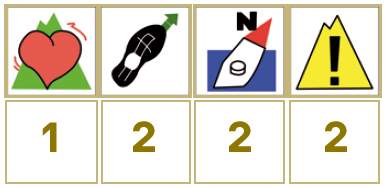
Profiles

Technical sheet
Route: Linear
Start: Navaconcejo
Finish: Piornal
Length: 10 km
Estimated time: 3h
Difficulty: Medium-low
Height difference :2,411 ft
Height difference :115 ft
HIM