


Hiking
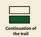
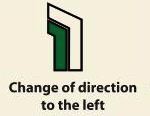
Signposting of trails
These are some of the signs you will find when you take the routes we describe below.
(SL) LOCAL PATH:


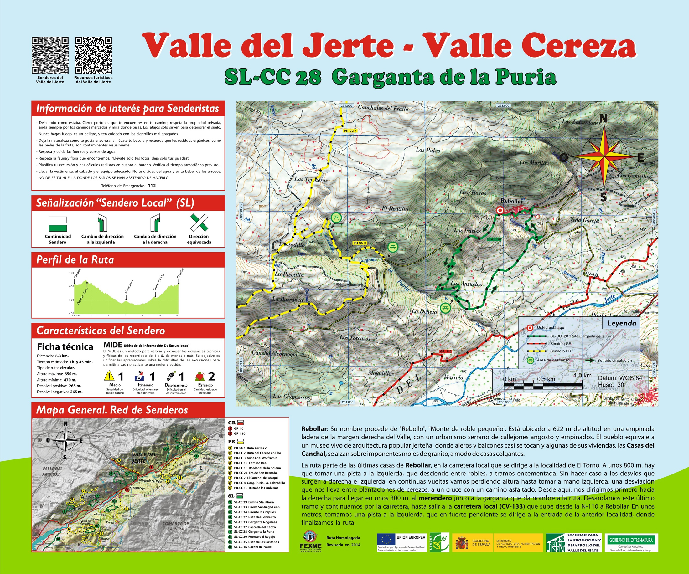
SL-CC 28 La Puria Ravine
Rebollar: its name comes from “rebollo” or “small oak mount.” It is located on a hillside of Montes Traslasierra, with a mountain urban area of narrow step alleys. The town is like a living museum of Jerte vernacular architecture, where eaves and balconies almost touch and some of its houses, like the Casas del Canchal, rise over imposing granite mouldings, as if suspended in the air.
The route starts at the end of the town, along the motorway heading to the locality of El Torno. Some 2,262 ft further, we take a track on the left with concrete sections that descend amid oak trees. Ignoring the deviations that come up, we go downhill amid cherry tree plantations until we get to a crossroads with a paved track. From here, we head right and within 984 ft arrive at a picnic area next to the ravine, from which this route takes its name. We descend along this last section and continue along the track until we leave the local motorway (CV- 133) that ascends from the N-110 to Rebollar. A few feet further, we take a track on the left that has a steep slope and heads towards the entrance to Rebollar, where the route ends.


Profiles

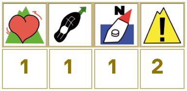
Technical sheet
Route: Circular
Start: Rebollar
Finish: Rebollar
Length: 3.9 miles
Estimated time: 1h 45min
Difficulty: Low
Height difference : 869 ft
Height difference : 869 ft
HIM