Hiking
Signposting of trails
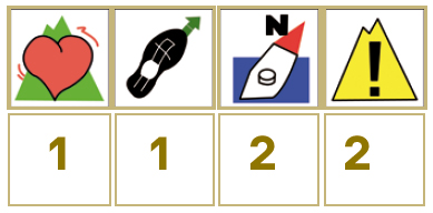
These are some of the signs you will find when you take the routes we describe below.
(SL) LOCAL PATH:


Route SL-CC 16 Cordel del Valle to Cuadrilleros
The marks of seasonal migration. This section of Vía Pecuaria is one of the most visited by seasonal migrants, especially by herdsmen from Ávila who lead their bull herds from the Gredos mountains to the gallery forest of El Tajo through the southern sierra of Tormantos, specifically of San Bernabé, which is low, but has a particularly well-conserved Mediterranean hold-oak wood.
The route starts where motorway N-110 crosses Vía Pecuaria, half a mile from the Regina restaurant, known by herdsmen as Venta Serafín. The route is obvious, since it is flanked by stone walls at all times. On several occasions, tracks or roads come or go from Vía Pecuaria heading to the surrounding estates, but it is impossible to get lost. 4.5 miles further on, the road is crossed by the old Plasencia to Gargüera road, along which the GR 111 (not recognised today) passes. The trail’s signposts end on arriving at motorway EX203, which links Plasencia with the La Vera district, though the ravine itself heads to Malpartida de Plasencia, Monfragüe and Trujillo.


Profiles

Technical sheet
Route: Linear
Start: N-110, km 392.3
Finish: EX-203, Km 6
Length: 5.6 miles
Estimated time: 2h 30min
Difficulty: Low
Height difference : 758 ft
Height difference : 535 ft
HIM