Hiking
Signposting of trails
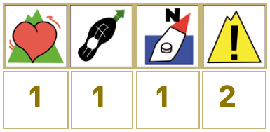
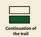
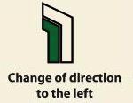
These are some of the signs you will find when you take the routes we describe below.
(SL) LOCAL PATH:


Route PR-CC 24 San Bernabé Era
The Era de San Bernabé gives its name to the surrounding landscape. In summer, the meadow grass of the Valley’s mountains would be cut with scythes, collected and taken to the “Era” or threshing floor, which was a clean, flat rock outcropping where the wheat and rye, etc. was threshed.
The route begins on the access motorway to Casa del Castañar, next to Arroyo park. We cross the locality to arrive at the start of the SL- CC 35 (Chestnut Tree Route) that shares these initial sections. We leave along an uphill concrete road and, after separating from the SL, the road runs almost flat until a fork on the right starts descending as far as a crossroads. One of the roads leads us back to the start and the other, on the left, as far as San Bernabé Era, with excellent views of the final section of the valley, reservoir and city of Plasencia. We return to the aforementioned crossroads and continue, gently descending along the track, as far as the local motorway, next to the starting point of the trail.


Profiles

Technical sheet
Route: Circular
Start: Casas de Castañar
Finish: Casas de Castañar
Length: 6.5 miles
Estimated time: 3h
Difficulty: Low
Height difference : 1,289 ft
Height difference : 1,289 ft
HIM